|
Northside Associated Ministries Ann Arbor, Michigan Northside Presbyterian Church/St. Aidan's Episcopal Church Adult Christian EducationAncient Land—Modern ConflictThe Historical and Political Geography of Israel and PalestineSupplement--Historical Maps of Israel and PalestineAncient times to the fall of Jerusalem (to 587 B.C.) A large number of historical and modern maps of Israel and Palestine are available on the web. This page provides links to many of them, arranged more or less by historical period. I will be adding more maps as I come across them in the next few weeks, so check back. Because historical events and geographies are part of the contested facts in the modern conflict, users should note the source of the maps when you evaluate their "truthfulness." Contents:
Ancient times to the fall of Jerusalem (to 587 B.C.) The Land of Canaan (3000 - 1468 BC)(from Applied Research Institute Jerusalem (Palestinian))
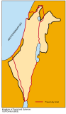
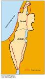
Palestine During the Time of David and Solomon (britannica.com) Canaan before the Hebrews -(from Mideast Web for Coexistence)Israel in Early Times - (from Mideast Web for Coexistence)The Dual Kingdom -(from Mideast Web for Coexistence)
The Assyrian Empire (from Painsley.org Bible atlas)
Old Testament Lands (from Painsley.org Bible atlas)
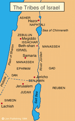
The Tribes of Israel (from Painsley.org Bible atlas)
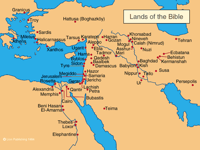
The Old Testament Nations (from Painsley.org Bible atlas)
Old Testament Palestine (North) (from Painsley.org Bible atlas)
Old Testament Palestine (South) (from Painsley.org Bible atlas)
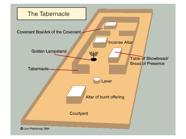
The Tabernacle (from Painsley.org Bible atlas)
Jerusalem at the time of I & II Kings (from Painsley.org Bible atlas)
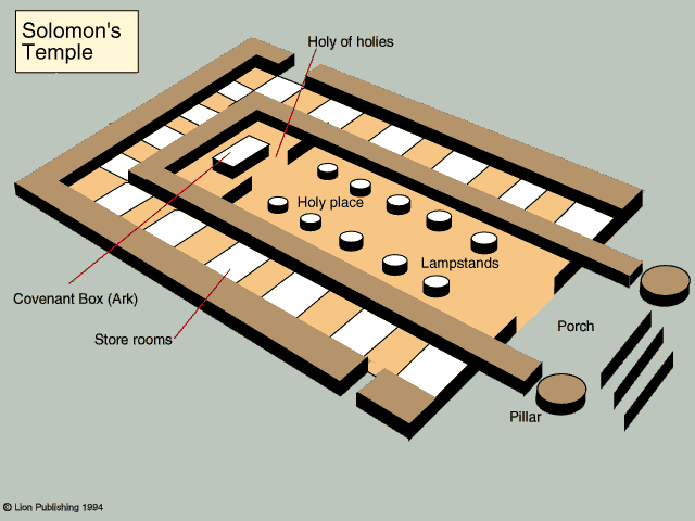
Solomon's Temple (from Painsley.org Bible atlas)
This page last updated 3/10/01 |


.gif)